ESSO - Indian National Centre for Ocean Information Services
(An Autonomous Body under the Ministry of Earth Sciences, Govt. of India)
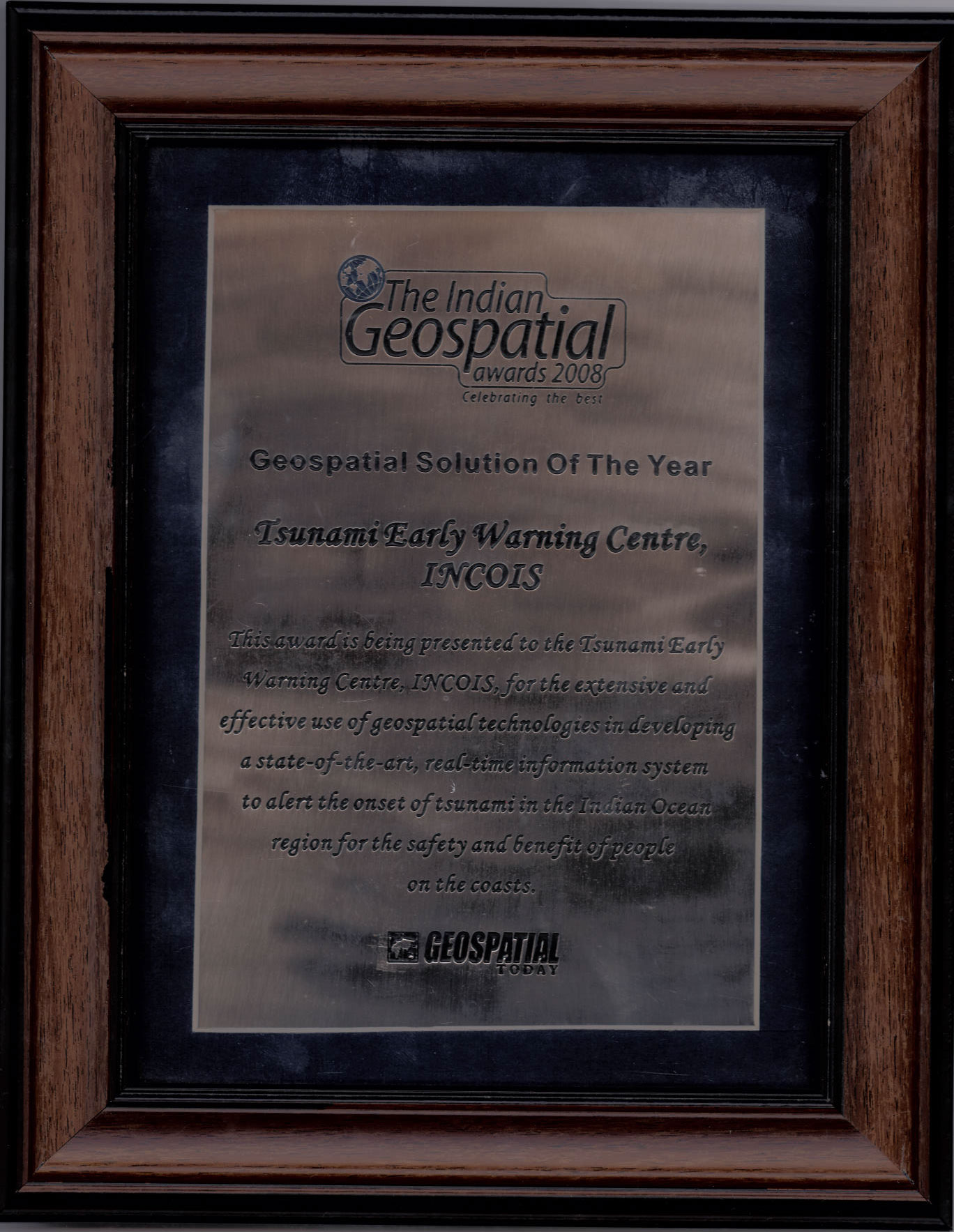
Geospatial Solution of the Year Award 2008 for TEWC, INCOIS
Geospatial Solution of the Year 2008 Award instituted by Geospatial Today during the Indian Geospatial Awards 2008 for effective use of geospatial technologies for tsunami early warning centre.
The Tsunami Early Warning System developed by INCOIS is a state-of-the-art information system built entirely using geospatial technologies to provide early warnings for tsunami and coastal hazard mitigation. The system has all the necessary computational and communication infrastructure in place that enables reception of real-time data from all the sensors, analysis of the data, generation and dissemination of warnings following a standard operating procedure using an application software developed for this procedure around GIS technology.
The software solution built entirely using GIS techniques enables operations such as (i) display of geographic locations of seismic sensors, tide gauges, bottom pressure sensors, (ii) retrieve real-time data, (iii) online plotting, (iv) overlay tsunami travel times by picking up the right scenario from the database, (v) warning generation and dissemination, (vi) system monitoring, administration, back up, data retrieval and play back.

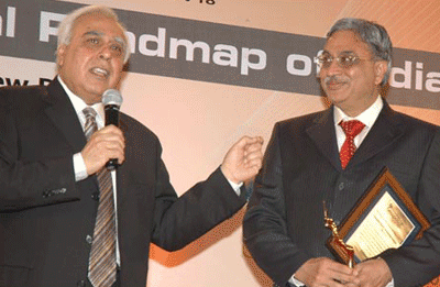
Dr. Shailesh R Nayak, Chairman, INCOIS received the award for Geospatial Solution of the Year 2008


